


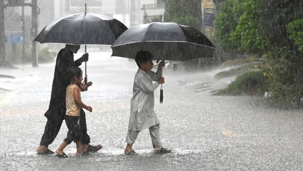
PESHAWAR: Northern Pakistan remains on high alert as a strengthening westerly wave combines with moisture-laden monsoon currents, raising the risk of heavy rain, urban flooding and landslides across several regions through Sept 5, officials said.
The Pakistan Meteorological Department (PMD) and Khyber Pakhtunkhwa’s Provincial Disaster Management Authority (PDMA) have issued successive weather advisories, warning of intense rainfall during the next two days.
According to the latest PMD advisory issued on Wednesday, the westerly wave is expected to strengthen further on Sept 4 and 5, with heavy to very heavy rainfall likely in parts of Khyber Pakhtunkhwa, Islamabad, Punjab, Kashmir, and Gilgit-Baltistan.
The intense spell could trigger urban flooding in low-lying areas of Peshawar, Mardan, Swabi, Islamabad, Rawalpindi, and Lahore.

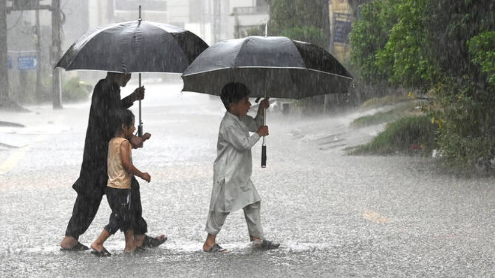
Flash flooding is also expected in local streams and nullahs in several mountainous districts of Khyber Pakhtunkhwa, including Dir, Chitral, Swat, Kohistan, Shangla, Battagram, Buner, Malakand, Mansehra, and Abbottabad.
The weather system also poses a significant risk of landslides in hilly areas, particularly where heavy rainfall affects already vulnerable slopes.
Two weather systems
Speaking to Pakistan TV Digital, Abdul Shakoor, a meteorologist at the Regional Meteorological Department in Peshawar, said that the current spell is being driven by the interaction of two weather systems.
A westerly wave originating over the Mediterranean is moving into northern Pakistan, while moisture-laden monsoon currents are advancing from the Arabian Sea.
“As these two systems converge, they create significant atmospheric instability, increasing the likelihood of rain, strong winds, and thunderstorms across Khyber Pakhtunkhwa, Punjab, Kashmir, and Gilgit-Baltistan,” Shakoor said.
He said broader climate patterns were also influencing rainfall activity across the region.
“While the El Niño climate pattern in the Pacific Ocean generally suppresses South Asian monsoon circulation, its drying influence has been effectively neutralized this season by the Indian Ocean Dipole,” he added.
According to the meteorologist, the Indian Ocean Dipole is currently in a positive phase, contributing to warmer sea-surface temperatures and increased convective activity in the western Indian Ocean.
This helps inject additional moisture into the atmosphere, supporting stronger rainfall activity over the subcontinent.
Authorities step up preparedness
In response to the forecast, the PDMA KP has directed deputy commissioners and municipal authorities to take precautionary measures and ensure emergency preparedness.
Authorities have been asked to clear urban drainage systems, closely monitor water levels in rivers and nullahs, pre-position Rescue 1122 personnel, and restrict traffic near vulnerable locations where necessary.
Residents in vulnerable areas have been advised to remain alert and avoid unnecessary movement during periods of intense rainfall.
Tourists and travelers have also been urged to avoid unnecessary trips to northern picnic spots and high-altitude areas during the period of adverse weather.
Farmers have been advised to adjust harvesting and other agricultural activities in view of the possibility of strong winds, heavy rainfall, and localized waterlogging.
With monsoon activity expected to continue into mid-September, authorities and relevant departments are closely monitoring weather conditions to minimize the risk of casualties and infrastructure damage.